Integration of Earth Science Data to Spatial Planning – Manual
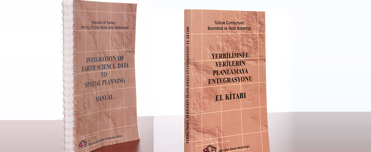
Integration of Earth Science Data to Spatial Planning - Manual
—
Country
Türkiye
Client
Disaster and Emergency Management Authority
Contractor
—
Features / Capacity / Area
Manual
Contract Date
2006 December
Turkey, due to its geological, geo-morphologic and climatic nature, has rather frequently met with natural disasters such as earthquakes, landslides, avalanche etc., and is in the front ranks amongst the OECD countries in terms of the great losses of life and property as result of such disasters.
Distribution of disaster types – based on victim numbers- which occurred in the last 50 years in Turkey, is given below.
- Earthquake %42.2, • Landslide %25.40,
- Rockfall %8.26,
- Flood % 10.36,
- Avalanche %1.63,
- Other disasters %3.25,
- Multiple disasters at the same location %7.57.
In our country -as located in such a sensible geography in terms of disaster hazards-, it has been known that the most rational and effective method for preventing disaster hazards and/or for disaster risk mitigation in the settlement areas is to handle the planning and implementation processes in such a way that disaster-specific planning approaches and the risk management are to be covered.
This Manual is prepared by PROTA Engineering, Design and Consultancy Services Ltd. Co., within the scope of Marmara Earthquake Reconstruction (MEER) Project financed by The World Bank under the Loan No. 4517-TU.
